Vladimir Grachev could refer to different individuals, but one notable figure is a Russian military leader and politician, particularly known for his role in the post-Soviet era. He served as the Minister of Defense of Russia from 1992 to 1996 and played a significant role during a tumultuous time in the country's military history. He was involved in various military and political events during the transition from the Soviet Union to the Russian Federation.
A caricature is a drawing, painting, or description that exaggerates or distorts certain features or characteristics of a person, often for comic or satirical effect. Caricatures can emphasize particular traits such as facial features, body proportions, or expressions, and they often highlight the subject's personality or idiosyncrasies. This art form is commonly used in editorial cartoons, advertising, and entertainment to provide humor or critique societal norms, politics, or individual behavior.
A destructive dilemma is a logical argument or scenario that presents two options, both of which lead to an undesirable conclusion. In formal logic, it can be represented in the following way: 1. If A, then C (A leads to a negative outcome C). 2. If B, then C (B also leads to the same negative outcome C). 3. Either A or B is true.
Vehicular Reactive Routing (VRR) protocol is a type of communication protocol specifically designed for vehicular ad hoc networks (VANETs). VANETs are a subset of mobile ad hoc networks (MANETs) that enable vehicles on the road to communicate with each other and with roadside infrastructure. The primary goals of VRR protocols are to facilitate efficient communication between vehicles while ensuring reliability, low latency, and robustness in dynamic environments.
Perforation-based computational tools refer to a category of computational techniques and technologies that make use of "perforation" as a foundational concept. While the term might vary in meaning depending on the specific domain, it generally relates to methods that involve creating holes, gaps, or segments within a material or data set to achieve certain functionalities or efficiencies.
Variable word length computers refer to computing systems that can process data in words of varying lengths, as opposed to fixed word length systems, which operate on a set, uniform size of data. In variable word length machines, the size of data elements (words) can change depending on the specific needs of the computation or the types of data being processed.
The Lehmer sieve is a mathematical technique used in number theory, particularly in prime number theory and the field of analytic number theory. It is named after the mathematician D. H. Lehmer, who developed this method to estimate the distribution of prime numbers in arithmetic progressions and to count primes with certain properties. The primary use of the Lehmer sieve is to improve the estimates of the number of integers that are simultaneously free of certain prime factors.
Soviet computing technology smuggling generally refers to the clandestine transfer of advanced computing technology and related materials from the Soviet Union during the Cold War era to other countries, especially Western nations. This activity was primarily motivated by the desire to acquire foreign technology that could enhance the Soviet Union's computing capabilities, which were lagging behind those of the West.
Cyberspace refers to the virtual environment of computer networks, where communication and information exchange occur. It encompasses the internet and the interconnected digital systems and technologies that facilitate online interactions, including websites, social media, email, and online communities. Cyberspace is not a physical space; rather, it represents a collective virtual domain created by the convergence of various forms of technology, including hardware, software, and data.
GTE Financial, often referred to as GTE, is a credit union based in Florida that provides a range of financial services, including banking, loans, and investments. GTE mainStreet is a product or service offered by GTE Financial tailored specifically for small businesses. It typically includes features like business checking accounts, savings accounts, loans, cash management services, and other resources to support small business operations.
Gopher is a pre-World Wide Web internet protocol designed for distributing, searching, and retrieving documents over the Internet. It was developed at the University of Minnesota in the early 1990s and is named after the university's mascot. Gopher was one of the first systems to organize information in a hierarchically structured way, allowing users to navigate through menus to access content.
"Home Page" is a 2006 Indian Malayalam-language film directed by Ranjith, known for its exploration of themes related to the impact of the internet and technology on modern life. The film revolves around the intersecting lives of various characters as they navigate their personal and professional struggles in the digital age. It addresses issues such as relationships, the influence of online interactions, and the changes brought about by the proliferation of technology.
The Internet Assigned Numbers Authority (IANA) is a crucial part of the internet's infrastructure, responsible for coordinating some of the key elements that maintain the global uniqueness and functionality of the internet. It operates under the authority of the Internet Corporation for Assigned Names and Numbers (ICANN), a nonprofit organization.
NCSA Telnet is a terminal emulation program developed by the National Center for Supercomputing Applications (NCSA) at the University of Illinois. It was designed to allow users to connect to remote servers and systems using the Telnet protocol, which provides a standardized way to interact with remote computers over a network. NCSA Telnet is notable for its user-friendly graphical interface, making it easier for users to navigate and connect to different remote services.
Hail Mary Cloud is a product developed by Microsoft that provides a cloud-based solution for managing and analyzing large-scale IoT (Internet of Things) data. It is designed to help organizations collect, store, and process vast amounts of data generated by IoT devices, enabling them to derive insights and make data-driven decisions. The platform typically offers capabilities such as real-time data ingestion, advanced analytics, machine learning integration, and support for various data formats.
Noel Chiappa is an influential figure in the field of computer science and networking. He is best known for his work on the ARPANET, which was the precursor to the modern Internet. Chiappa contributed to various projects and developments related to networking protocols and systems architecture. In addition to his technical contributions, he has been involved in documenting and sharing knowledge about the history and evolution of networking technologies. His work has helped shape the understanding of how these systems operate and the principles behind them.
Packet switching is a method of data transmission used in computer networks where data is broken down into smaller, manageable units called packets. Each packet contains a portion of the overall data along with necessary control information, such as the source and destination addresses and sequencing details. This method allows multiple packets from different sources to share the same communication channel efficiently. **Key characteristics of packet switching include:** 1. **Data Segmentation**: Data is divided into packets for transmission.
As of my last knowledge update in October 2023, PicoSpan is not a widely recognized term and may refer to various things depending on the context, such as a product, service, or technology that emerged after that date. It’s important to clarify the specific context or field you are referring to for a more accurate response.
A search engine is a software system designed to search for information on the internet. It enables users to input queries and retrieve relevant data from a vast index of web pages, documents, images, videos, and other content available online. The main functions of a search engine include: 1. **Crawling**: Search engines use automated programs called crawlers or bots to scan and index the content of websites across the internet. These bots follow links from page to page to discover new content.
Very High-Speed Backbone Network Service (vBNS) is a high-capacity network service originally developed by the National Science Foundation (NSF) in the United States to support advanced research and education efforts. It played a crucial role in the development of the Internet infrastructure for researchers and institutions, particularly during the 1990s and early 2000s.
Pinned article: Introduction to the OurBigBook Project
Welcome to the OurBigBook Project! Our goal is to create the perfect publishing platform for STEM subjects, and get university-level students to write the best free STEM tutorials ever.
Everyone is welcome to create an account and play with the site: ourbigbook.com/go/register. We belive that students themselves can write amazing tutorials, but teachers are welcome too. You can write about anything you want, it doesn't have to be STEM or even educational. Silly test content is very welcome and you won't be penalized in any way. Just keep it legal!
Intro to OurBigBook
. Source. We have two killer features:
- topics: topics group articles by different users with the same title, e.g. here is the topic for the "Fundamental Theorem of Calculus" ourbigbook.com/go/topic/fundamental-theorem-of-calculusArticles of different users are sorted by upvote within each article page. This feature is a bit like:
- a Wikipedia where each user can have their own version of each article
- a Q&A website like Stack Overflow, where multiple people can give their views on a given topic, and the best ones are sorted by upvote. Except you don't need to wait for someone to ask first, and any topic goes, no matter how narrow or broad
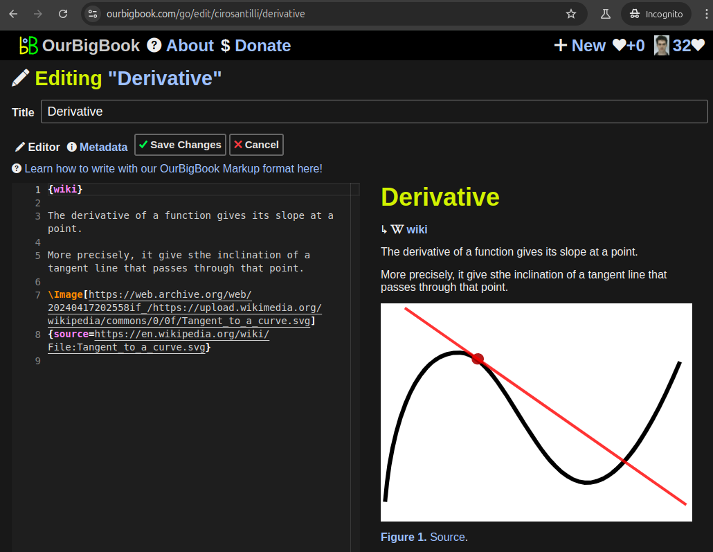
This feature makes it possible for readers to find better explanations of any topic created by other writers. And it allows writers to create an explanation in a place that readers might actually find it.Figure 1. Screenshot of the "Derivative" topic page. View it live at: ourbigbook.com/go/topic/derivativeVideo 2. OurBigBook Web topics demo. Source. - local editing: you can store all your personal knowledge base content locally in a plaintext markup format that can be edited locally and published either:This way you can be sure that even if OurBigBook.com were to go down one day (which we have no plans to do as it is quite cheap to host!), your content will still be perfectly readable as a static site.
- to OurBigBook.com to get awesome multi-user features like topics and likes
- as HTML files to a static website, which you can host yourself for free on many external providers like GitHub Pages, and remain in full control
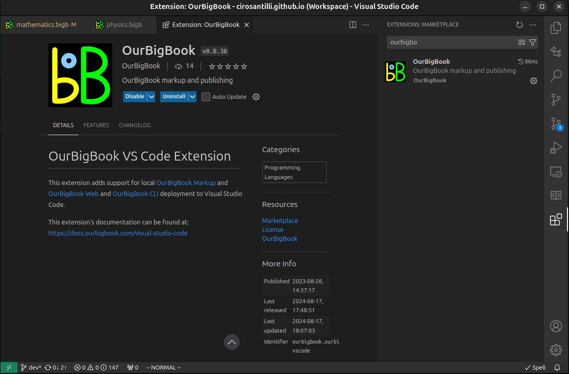
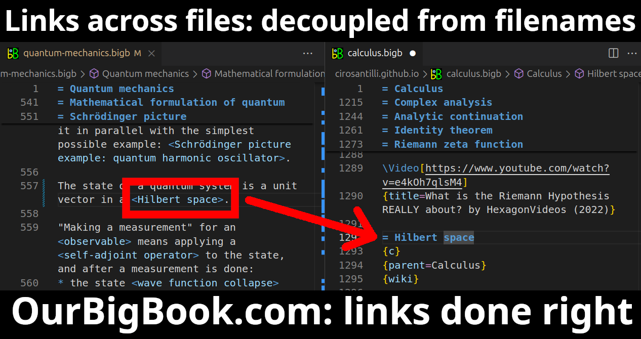
Figure 3. Visual Studio Code extension installation.Figure 4. Visual Studio Code extension tree navigation.Figure 5. Web editor. You can also edit articles on the Web editor without installing anything locally.Video 3. Edit locally and publish demo. Source. This shows editing OurBigBook Markup and publishing it using the Visual Studio Code extension.Video 4. OurBigBook Visual Studio Code extension editing and navigation demo. Source. - Infinitely deep tables of contents:
All our software is open source and hosted at: github.com/ourbigbook/ourbigbook
Further documentation can be found at: docs.ourbigbook.com
Feel free to reach our to us for any help or suggestions: docs.ourbigbook.com/#contact


