"Knowledge space" can refer to different concepts depending on the context in which it is used. Here are some of the common interpretations: 1. **Ontology and Knowledge Representation**: In fields like artificial intelligence and knowledge management, a knowledge space refers to a structured representation of knowledge. This can include concepts, categories, and the relationships between them, often organized in a way that facilitates understanding and inference.
The Lövheim Cube of Emotions is a psychological model that aims to depict and explain human emotions in a three-dimensional cube format. Developed by Swedish psychologist Göran Lövheim, the model integrates scientific findings about emotions and their neurobiological underpinnings. The cube consists of three axes, each representing a different dimension of emotional experience: 1. **Valence** (Pleasure vs.
The theory of conjoint measurement is a mathematical framework used to understand and quantify preferences, particularly in the context of decision-making processes where multiple attributes are considered. It originated in the field of psychophysics and operational research, and it has applications in economics, social sciences, marketing, and various areas of management. ### Key Concepts: 1. **Attributes and Levels**: In a typical conjoint analysis, choices are characterized by a set of attributes, each of which may have different levels.
The American Mathematical Society (AMS) is a professional organization based in the United States that aims to promote the advancement, dissemination, and utilization of mathematical research and education. Founded in 1888, the AMS fulfills a variety of roles, including: 1. **Publication**: The AMS publishes several prestigious journals, books, and conference proceedings in the field of mathematics, providing a platform for researchers to share their findings.
In mathematics, "representation" generally refers to a way to express mathematical objects in a particular form or through certain structures. The term can be used in various specific contexts, including but not limited to: 1. **Linear Representation**: In linear algebra and representation theory, a representation of a group is a way of expressing the elements of a group as linear transformations (i.e., matrices) of a vector space. This allows one to study group properties using linear algebra.
The Australian Mathematical Society (AustMS) is a professional organization that supports the advancement, research, and dissemination of mathematics in Australia. Established in 1956, the society aims to promote mathematics within the community, promote mathematics education, and facilitate collaboration among mathematicians.
The Hamburg Mathematical Society (Hamburger Mathematikgesellschaft, HMG) is a professional organization dedicated to the promotion and advancement of mathematics in Hamburg, Germany. Founded in 1893, the society aims to foster collaboration among mathematicians, support mathematical research and education, and facilitate communication among its members. The society organizes various activities such as seminars, lectures, and conferences, providing a platform for mathematicians to discuss their work and share knowledge.
The Icelandic Mathematical Society (Íslenska stærðfræðifélagið) is an organization dedicated to promoting the field of mathematics in Iceland. It serves as a platform for mathematicians, researchers, and educators to collaborate, share knowledge, and advance mathematical research and education in the country. The society typically organizes seminars, conferences, and workshops, and it may also publish research and educational materials related to mathematics.
The Iranian Mathematical Society (IMS) is an academic organization that aims to promote the advancement and dissemination of mathematical knowledge in Iran and foster collaboration among mathematicians. Established in 1966, the society provides a platform for researchers, educators, and students to engage in mathematical activities, including conferences, workshops, and publications. The IMS publishes various scientific journals, organizes events, and supports research initiatives in diverse areas of mathematics.
The Israel Mathematical Union (IMU) is an organization that represents mathematicians in Israel. It serves as a platform to promote mathematical research and education in the country. The IMU facilitates communication and collaboration among mathematicians, organizes conferences, workshops, and seminars, and is involved in fostering mathematical activities and outreach. The IMU may also collaborate with international mathematical societies and participate in global mathematical initiatives.
The Malta Mathematical Society is an organization dedicated to promoting the study and application of mathematics in Malta. It serves as a platform for mathematicians, educators, and students to collaborate, share knowledge, and conduct research. The society often organizes seminars, workshops, and conferences to encourage the exchange of ideas and to foster interest in mathematics among the public and in educational institutions.
The National Association of Mathematicians (NAM) is an organization founded in 1969 with the aim of promoting the participation of underrepresented minorities in the mathematical sciences. NAM's mission includes fostering professional development, providing networking opportunities, and serving as a voice for the interests of its members within the broader mathematics community. NAM plays a crucial role in advocating for diversity and inclusion in mathematics and related fields, organizing conferences, workshops, and educational programs to support students and professionals, particularly from marginalized communities.
The Nepal Mathematical Society (NMS) is a professional organization dedicated to the promotion and advancement of mathematics in Nepal. Established to foster mathematical research, education, and collaboration among mathematicians, the society typically engages in various activities such as organizing conferences, workshops, and seminars aimed at enhancing mathematical knowledge and application in the region. The NMS also focuses on encouraging mathematical research by providing a platform for mathematicians to present their work and collaborate on projects.
The Norwegian Mathematical Society (Den Norske Matematiske Forening) is a professional organization in Norway that aims to promote the advancement, dissemination, and application of mathematics. Founded in 1875, it serves as a platform for mathematicians, researchers, teachers, and students to engage with one another and with the broader community. The society organizes various activities, including conferences, seminars, and workshops, to foster collaboration and the sharing of knowledge in the field of mathematics.
The Norwegian Statistical Association (Norsk Statistisk Forening) is an organization that focuses on promoting the field of statistics in Norway. It aims to facilitate collaboration and communication among statisticians, researchers, and practitioners across various sectors, including academia, government, and industry. The association organizes conferences, workshops, and seminars to share knowledge, foster discussions on statistical methods and applications, and support the professional development of its members.
Henry Lewis Rietz (1854–1922) was an American mathematician known for his contributions to the field of mathematics, particularly in the area of numerical analysis and applied mathematics. He is recognized for his work on the Rietz problem and for advancing the understanding of numerical methods. His research often focused on mathematical techniques that could be applied to practical problems. In addition to his research, Rietz was involved in education and contributed to the development of mathematical curricula.
David Hinkley could refer to several individuals, but without specific context, it's difficult to determine exactly which David Hinkley you are referring to. One notable David Hinkley is a well-known American author and journalist, known for his work in media and commentary. If you have a specific context or field in which you’re interested (e.g., sports, academia, literature), that would help narrow it down!
Donald Allan Darling, born in 1934, was a notable American politician and a member of the Republican Party. He served as a member of the U.S. House of Representatives, representing Michigan's 6th congressional district from 1977 to 1979. Prior to his congressional career, he was involved in various public service roles, including serving in the Michigan State Legislature. In addition to his political career, Darling was known for his work in community service and various business ventures.
Yadolah Dodge is a notable Iranian-American economist, professor, and researcher, recognized for his contributions to the fields of economic development, international economics, and agriculture. His work often focuses on economic policies, development strategies, and the impacts of globalization on developing economies. In addition to his academic pursuits, he has also been involved in policy-making and consulting, particularly concerning agricultural and economic issues in Iran and other countries.
Halbert White is a prominent statistician and econometrician known for his contributions to the fields of econometrics and statistical theory. One of his significant contributions is the development of robust standard errors, which address issues of heteroskedasticity (non-constant variance) in the context of regression analysis. This work is particularly influential in ensuring valid inference in econometric models when the assumptions of traditional ordinary least squares regression are violated.
Pinned article: Introduction to the OurBigBook Project
Welcome to the OurBigBook Project! Our goal is to create the perfect publishing platform for STEM subjects, and get university-level students to write the best free STEM tutorials ever.
Everyone is welcome to create an account and play with the site: ourbigbook.com/go/register. We belive that students themselves can write amazing tutorials, but teachers are welcome too. You can write about anything you want, it doesn't have to be STEM or even educational. Silly test content is very welcome and you won't be penalized in any way. Just keep it legal!
Intro to OurBigBook
. Source. We have two killer features:
- topics: topics group articles by different users with the same title, e.g. here is the topic for the "Fundamental Theorem of Calculus" ourbigbook.com/go/topic/fundamental-theorem-of-calculusArticles of different users are sorted by upvote within each article page. This feature is a bit like:
- a Wikipedia where each user can have their own version of each article
- a Q&A website like Stack Overflow, where multiple people can give their views on a given topic, and the best ones are sorted by upvote. Except you don't need to wait for someone to ask first, and any topic goes, no matter how narrow or broad
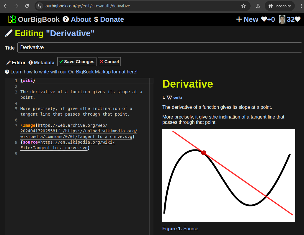
This feature makes it possible for readers to find better explanations of any topic created by other writers. And it allows writers to create an explanation in a place that readers might actually find it.Figure 1. Screenshot of the "Derivative" topic page. View it live at: ourbigbook.com/go/topic/derivativeVideo 2. OurBigBook Web topics demo. Source. - local editing: you can store all your personal knowledge base content locally in a plaintext markup format that can be edited locally and published either:This way you can be sure that even if OurBigBook.com were to go down one day (which we have no plans to do as it is quite cheap to host!), your content will still be perfectly readable as a static site.
- to OurBigBook.com to get awesome multi-user features like topics and likes
- as HTML files to a static website, which you can host yourself for free on many external providers like GitHub Pages, and remain in full control
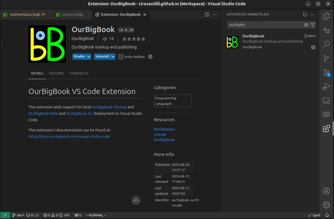
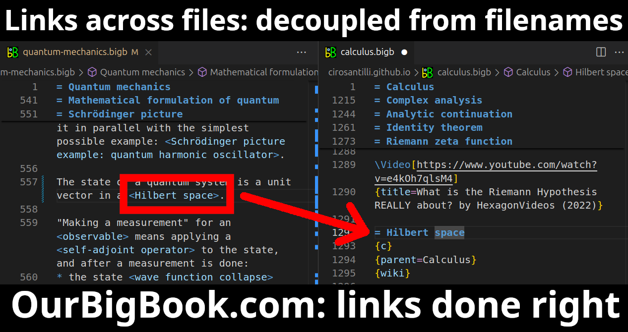
Figure 3. Visual Studio Code extension installation.Figure 4. Visual Studio Code extension tree navigation.Figure 5. Web editor. You can also edit articles on the Web editor without installing anything locally.Video 3. Edit locally and publish demo. Source. This shows editing OurBigBook Markup and publishing it using the Visual Studio Code extension.Video 4. OurBigBook Visual Studio Code extension editing and navigation demo. Source. - Infinitely deep tables of contents:
All our software is open source and hosted at: github.com/ourbigbook/ourbigbook
Further documentation can be found at: docs.ourbigbook.com
Feel free to reach our to us for any help or suggestions: docs.ourbigbook.com/#contact


