FRM II, or the Financial Risk Manager Level II, is the second level of the Financial Risk Manager (FRM) certification program offered by the Global Association of Risk Professionals (GARP). The FRM certification is recognized globally and is designed for professionals in the risk management field. FRM II focuses on more advanced concepts and practices in risk management. It covers topics such as: 1. **Market Risk**: Understanding and managing the risks associated with market fluctuations.
105 mm artillery refers to a type of artillery weapon that fires projectiles with a caliber of 105 millimeters. This caliber is commonly associated with towed howitzers, self-propelled artillery, and some mortars. The 105 mm artillery piece is designed for a variety of roles on the battlefield, including indirect fire support, counter-battery fire, and support for ground troops.
Pankaj K. Agarwal is a prominent computer scientist known for his work in the fields of algorithms, computational geometry, and data structures. He has contributed significantly to various theoretical aspects of computer science, including geometric algorithms and combinatorial geometry. Agarwal has authored numerous research papers and has been involved in various academic and professional conferences. He is typically associated with a specific institution or university, where he may teach and supervise research.
The plane of polarization refers to the orientation of the electric field vector of a light wave in a plane perpendicular to the direction of propagation of the wave. Light is an electromagnetic wave, and it consists of oscillating electric and magnetic fields. In unpolarized light, the electric field oscillates in multiple directions perpendicular to the direction of travel. However, in polarized light, the electric field oscillates in a specific direction.
The number 100 can represent various concepts depending on the context. Here are a few interpretations: 1. **Mathematical Value**: It is a whole number that follows 99 and precedes 101. It is an even composite number, made up of the prime factors 2 and 5 (specifically, \(100 = 2^2 \times 5^2\)). 2. **Percentage**: In percentage terms, 100% represents a whole or entirety.
The 100th meridian east is a line of longitude that is located 100 degrees east of the Prime Meridian, which is defined as 0 degrees longitude. It runs from the North Pole to the South Pole and passes through several countries, including parts of Russia, Mongolia, China, India, and Myanmar, among others. This meridian is significant for various reasons, including its use in geographic studies and its historical context in terms of mapping and land use.
The 10–20 system is a standardized method used to place electrodes on the scalp for electroencephalography (EEG) recordings. This system is crucial in clinical and research settings for monitoring brain activity in a consistent and reproducible manner.
The 117th meridian east is a line of longitude that is 117 degrees east of the Prime Meridian, which runs through Greenwich, England. This meridian runs from the North Pole to the South Pole, crossing several countries and regions along the way. In North America, the 117th meridian east runs through parts of Canada and the United States. In the United States, it passes through states such as California, Nevada, and Utah.
The 126th meridian east is a line of longitude that is 126 degrees east of the Prime Meridian, which runs through Greenwich, London. This meridian runs from the North Pole to the South Pole and passes through several countries. In terms of regions it crosses, the 126th meridian east passes through: 1. **Russia** - Specifically, it travels through the eastern parts of the country.
The number 17 is a natural number that follows 16 and precedes 18. It is an odd prime number, meaning it has no positive divisors other than 1 and itself. In various contexts, 17 can represent different things, such as: 1. **Mathematics**: Its properties include being a prime number, the sum of the first four prime numbers (2 + 3 + 5 + 7), and part of various mathematical sequences.
The 143rd meridian east is a line of longitude located 143 degrees east of the Prime Meridian, which is located at 0 degrees longitude. This meridian runs from the North Pole to the South Pole, crossing through various countries and territories in the eastern hemisphere. In terms of geography, the 143rd meridian east passes through parts of the following areas: - **Australia**: It crosses through the northeastern part of Australia, including regions in Queensland.
The 146th meridian west is a line of longitude that is 146 degrees west of the Prime Meridian, which is located at 0 degrees longitude. This meridian runs from the North Pole to the South Pole, crossing various regions along the way. In the northern hemisphere, the 146th meridian west passes through parts of Alaska and the Aleutian Islands. In the southern hemisphere, it crosses through the South Pacific Ocean.
The 151st meridian east is a line of longitude that is 151 degrees east of the Prime Meridian, which is set at 0 degrees longitude. This meridian runs from the North Pole to the South Pole, passing through various regions along the way. Notable areas that the 151st meridian east passes through include parts of the Pacific Ocean, as well as islands such as New Zealand and various territories in the South Pacific.
The 159th meridian east is a line of longitude that is located 159 degrees east of the Prime Meridian, which is defined as 0 degrees longitude. Like all lines of longitude, it runs from the North Pole to the South Pole. The 159th meridian east passes through the Pacific Ocean, and it is located east of countries such as Russia's Kamchatka Peninsula and north of New Zealand.
The 171st meridian east is a line of longitude that is 171 degrees east of the Prime Meridian. It runs from the North Pole to the South Pole, passing through several regions.
Fuensanta Aroca might refer to a person, likely with notable contributions in a specific field, such as science, arts, or another area. However, based on the information I have up to October 2023, there isn't any widely recognized individual or entity by that name that is well-documented in public data. It could also refer to a specific location, event, or cultural reference that isn't extensively covered in major sources.
The 1978 Austrian nuclear power referendum was a significant event in Austria's political history regarding the decision on the future of nuclear energy in the country. The referendum took place on November 5, 1978, and was primarily focused on whether to continue the construction of a nuclear power plant in the town of Zwentendorf, which had already been partially built.
The 1998 bombing of Iraq primarily refers to a military operation conducted by the United States and the United Kingdom known as Operation Desert Fox. This operation took place from December 16 to December 19, 1998, and involved a series of airstrikes aimed at degrading Iraq's ability to produce and deploy weapons of mass destruction (WMDs).
Pinned article: Introduction to the OurBigBook Project
Welcome to the OurBigBook Project! Our goal is to create the perfect publishing platform for STEM subjects, and get university-level students to write the best free STEM tutorials ever.
Everyone is welcome to create an account and play with the site: ourbigbook.com/go/register. We belive that students themselves can write amazing tutorials, but teachers are welcome too. You can write about anything you want, it doesn't have to be STEM or even educational. Silly test content is very welcome and you won't be penalized in any way. Just keep it legal!
Intro to OurBigBook
. Source. We have two killer features:
- topics: topics group articles by different users with the same title, e.g. here is the topic for the "Fundamental Theorem of Calculus" ourbigbook.com/go/topic/fundamental-theorem-of-calculusArticles of different users are sorted by upvote within each article page. This feature is a bit like:
- a Wikipedia where each user can have their own version of each article
- a Q&A website like Stack Overflow, where multiple people can give their views on a given topic, and the best ones are sorted by upvote. Except you don't need to wait for someone to ask first, and any topic goes, no matter how narrow or broad
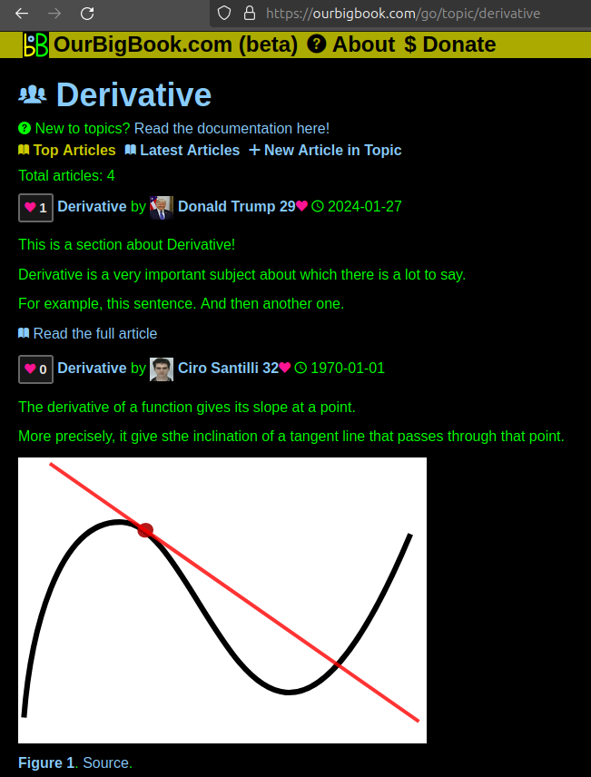
This feature makes it possible for readers to find better explanations of any topic created by other writers. And it allows writers to create an explanation in a place that readers might actually find it.Figure 1. Screenshot of the "Derivative" topic page. View it live at: ourbigbook.com/go/topic/derivativeVideo 2. OurBigBook Web topics demo. Source. - local editing: you can store all your personal knowledge base content locally in a plaintext markup format that can be edited locally and published either:This way you can be sure that even if OurBigBook.com were to go down one day (which we have no plans to do as it is quite cheap to host!), your content will still be perfectly readable as a static site.
- to OurBigBook.com to get awesome multi-user features like topics and likes
- as HTML files to a static website, which you can host yourself for free on many external providers like GitHub Pages, and remain in full control
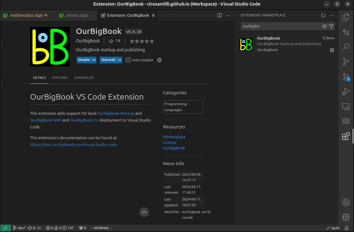
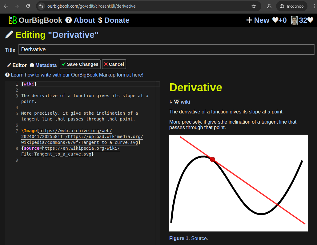
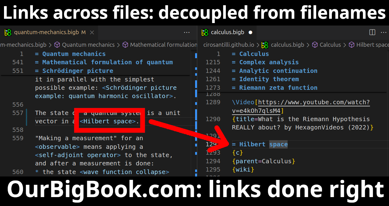
Figure 3. Visual Studio Code extension installation.Figure 4. Visual Studio Code extension tree navigation.Figure 5. Web editor. You can also edit articles on the Web editor without installing anything locally.Video 3. Edit locally and publish demo. Source. This shows editing OurBigBook Markup and publishing it using the Visual Studio Code extension.Video 4. OurBigBook Visual Studio Code extension editing and navigation demo. Source. - Infinitely deep tables of contents:
All our software is open source and hosted at: github.com/ourbigbook/ourbigbook
Further documentation can be found at: docs.ourbigbook.com
Feel free to reach our to us for any help or suggestions: docs.ourbigbook.com/#contact


