OPEN LOOK is a graphical user interface (GUI) standard that was developed by Sun Microsystems in the late 1980s. It was designed for use with the SunOS operating system and aimed to provide a more user-friendly environment for interacting with computer systems compared to traditional command-line interfaces. The key features of OPEN LOOK include: 1. **Window Management**: The interface supports multiple overlapping windows, allowing users to manage various applications simultaneously.
Chorus Systèmes SA is a company that specializes in developing software and solutions for various industries, particularly in the field of product lifecycle management (PLM) and manufacturing. The company provides tools that assist organizations in managing their product data and processes throughout the entire lifecycle, from initial design through production and maintenance. Their offerings often include solutions for 3D modeling, simulation, and collaboration, aimed at improving efficiency, fostering innovation, and enhancing communication among teams.
The Common Open Software Environment (COSE) is an initiative that was developed in the early 1990s aimed at promoting the use of open standards in software environments, particularly in the context of Unix and Unix-like operating systems. COSE was focused on creating a consistent framework for software development, interoperability, and portability across different systems, which would help alleviate the fragmentation of the software market and facilitate the development of applications that could work across various platforms.
The Intel Binary Compatibility Standard (IBCS) is a specification that defines a standard set of requirements for binary compatibility among different operating systems and software environments, specifically for Intel architectures. The goal of IBCS is to enable applications compiled for one environment to run on another, facilitating interoperability across various systems and minimizing the need for recompilation.
Whitesmiths is a term that can refer to a couple of different things, depending on the context. Historically, a whitesmith was a term used to describe a metalworker who specializes in working with light-colored metals such as tin, pewter, and aluminum. Whitesmiths typically create items like utensils, vessels, and other decorative objects.
Krugersdorp is a city located in the West Rand District Municipality of Gauteng province in South Africa. It was established in 1887 and named after Paul Kruger, the president of the South African Republic (Transvaal) at the time. The city has a rich history tied to the gold mining industry, which played a significant role in its development. Krugersdorp is known for its diverse population and serves as a commercial center for the surrounding areas.
As of my last update in October 2023, uranium production data is typically organized by country based on annual output measured in metric tons of U3O8 (uranium oxide). The leading countries in uranium production often include: 1. **Kazakhstan** - Historically the largest producer of uranium in the world. 2. **Canada** - Known for high-grade uranium mines, producing significant amounts, particularly in Alberta and Saskatchewan.
As of my last update in October 2023, the following is a general overview of countries known to have significant uranium reserves. Note that the exact figures can change based on new discoveries, mining activities, and assessments: 1. **Australia**: Home to the largest uranium reserves in the world, with significant deposits including the Olympic Dam and Ranger mines. 2. **Kazakhstan**: A leading producer of uranium, with large reserves that support its extensive mining operations.
Rapid transit refers to high-capacity public transportation systems that operate on dedicated tracks or rights-of-way, typically designed to move a large number of passengers quickly and efficiently within urban and suburban areas. These systems are characterized by: 1. **Speed**: Rapid transit systems are designed for fast service, with minimal stops and efficient schedules. 2. **Frequency**: They often run at high frequencies, making them convenient for users and reducing waiting times.
Tram transport, also known as streetcar or trolley service, refers to a mode of public transportation that uses vehicles running on tracks laid in city streets or dedicated tram corridors. Trams are typically electric and can carry passengers over both short and medium distances. Key features of tram transport include: 1. **Tracks and Routes**: Trams operate on fixed tracks that are usually embedded in the street, allowing them to share space with other vehicles.
Pinned article: Introduction to the OurBigBook Project
Welcome to the OurBigBook Project! Our goal is to create the perfect publishing platform for STEM subjects, and get university-level students to write the best free STEM tutorials ever.
Everyone is welcome to create an account and play with the site: ourbigbook.com/go/register. We belive that students themselves can write amazing tutorials, but teachers are welcome too. You can write about anything you want, it doesn't have to be STEM or even educational. Silly test content is very welcome and you won't be penalized in any way. Just keep it legal!
Intro to OurBigBook
. Source. We have two killer features:
- topics: topics group articles by different users with the same title, e.g. here is the topic for the "Fundamental Theorem of Calculus" ourbigbook.com/go/topic/fundamental-theorem-of-calculusArticles of different users are sorted by upvote within each article page. This feature is a bit like:
- a Wikipedia where each user can have their own version of each article
- a Q&A website like Stack Overflow, where multiple people can give their views on a given topic, and the best ones are sorted by upvote. Except you don't need to wait for someone to ask first, and any topic goes, no matter how narrow or broad
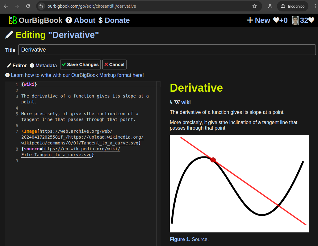
This feature makes it possible for readers to find better explanations of any topic created by other writers. And it allows writers to create an explanation in a place that readers might actually find it.Figure 1. Screenshot of the "Derivative" topic page. View it live at: ourbigbook.com/go/topic/derivativeVideo 2. OurBigBook Web topics demo. Source. - local editing: you can store all your personal knowledge base content locally in a plaintext markup format that can be edited locally and published either:This way you can be sure that even if OurBigBook.com were to go down one day (which we have no plans to do as it is quite cheap to host!), your content will still be perfectly readable as a static site.
- to OurBigBook.com to get awesome multi-user features like topics and likes
- as HTML files to a static website, which you can host yourself for free on many external providers like GitHub Pages, and remain in full control
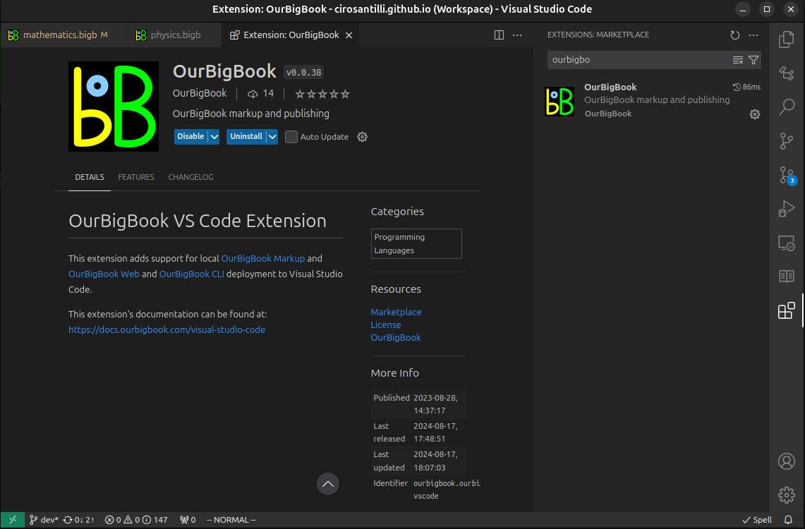
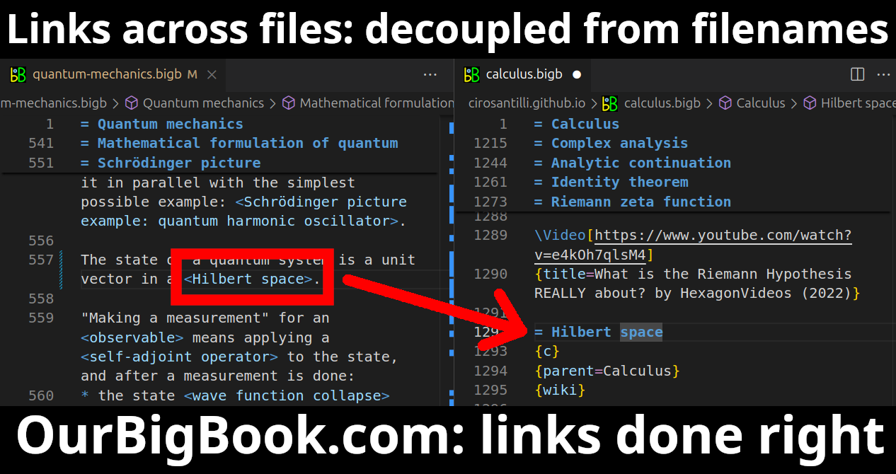
Figure 3. Visual Studio Code extension installation.Figure 4. Visual Studio Code extension tree navigation.Figure 5. Web editor. You can also edit articles on the Web editor without installing anything locally.Video 3. Edit locally and publish demo. Source. This shows editing OurBigBook Markup and publishing it using the Visual Studio Code extension.Video 4. OurBigBook Visual Studio Code extension editing and navigation demo. Source. - Infinitely deep tables of contents:
All our software is open source and hosted at: github.com/ourbigbook/ourbigbook
Further documentation can be found at: docs.ourbigbook.com
Feel free to reach our to us for any help or suggestions: docs.ourbigbook.com/#contact


